There is a lot to explore on the island of forested mountains, and this happens to be one of them.
Leave the road, take the trails
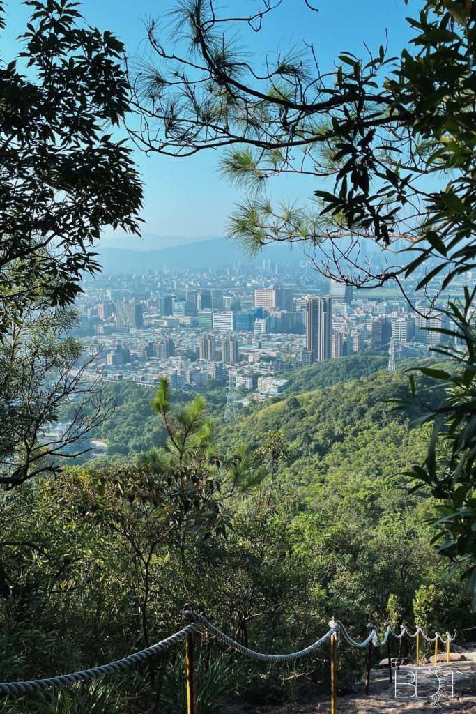
The Elephant Mountain (Xiangshan or 象山) hike will probably come up in the itinerary of any nature-loving individual visiting Taiwan. It is a relatively short hike and supposedly puts you in the best vantage point to see the city skyline. That sounds like a solid plan, no?
Locals and tourists alike love coming here, but given its popularity, you should never expect to have this place all to yourself.
As for us, we didn’t want to be stuck with a truckload of people on the trail, so we took matters into our own hands and found another route to explore.
Have you heard of Jinmianshan Trail?
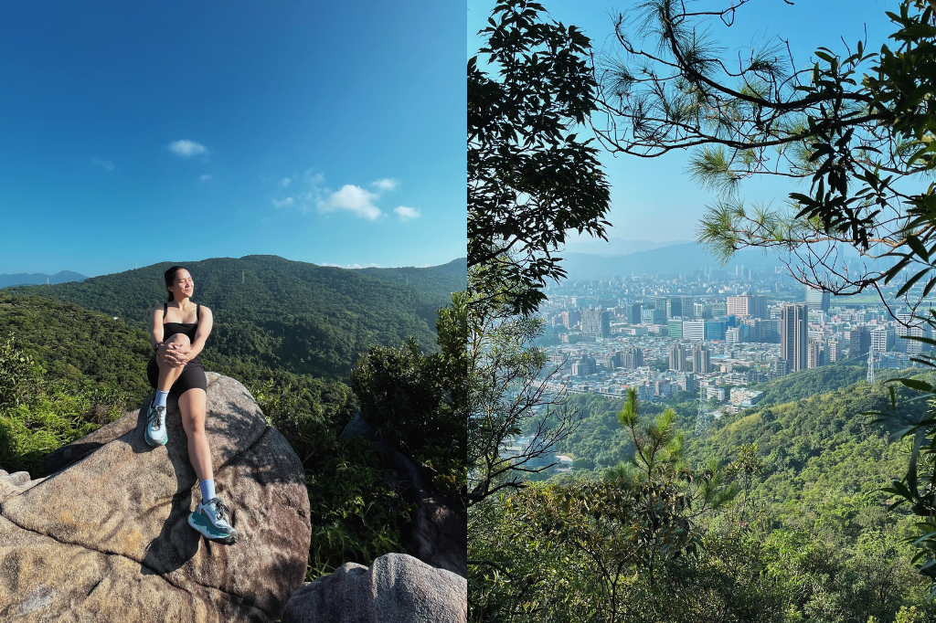
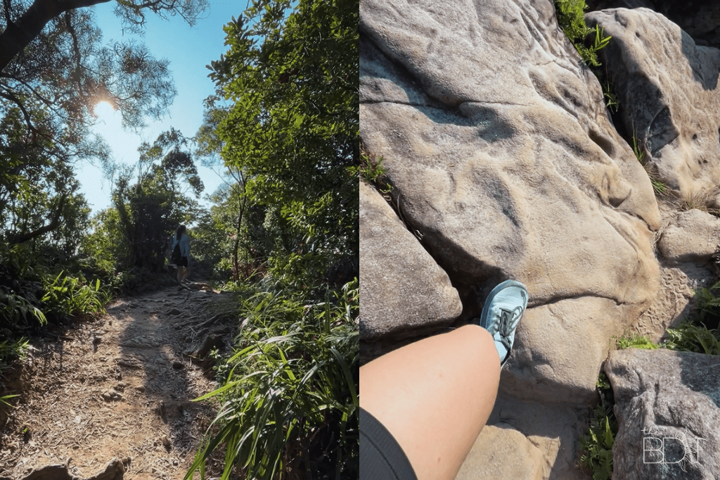
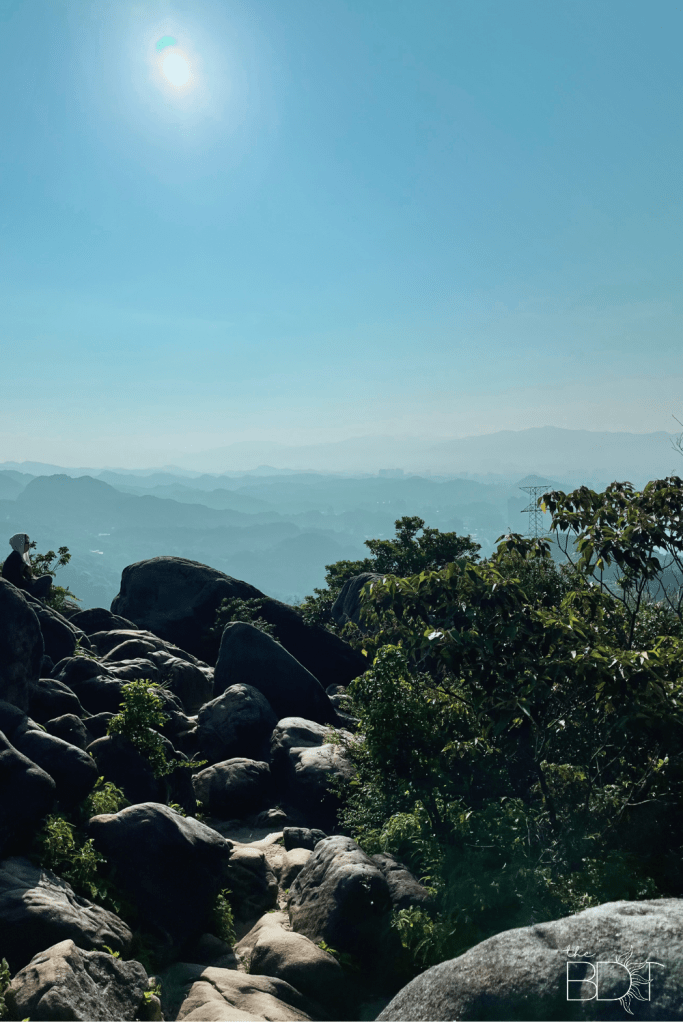
This is a moderate climb that starts unassumingly easy, before eventually challenging you to walk up a ridge and rugged rocks rather than a defined set of stairs. Of course, it doesn’t share the same views as Elephant Mountain, but what it lacks in a closer Taipei 101 backdrop, it more than makes up for in equally unbeatable scenery. Plus, it’s quieter and less crowded. It’s a win!
Fun fact: Jinmianshan (金面山) translates to “Gold Face Mountain.” This is due to the geology of the place being quartz sandstone. When the sun shines down on the sides of the mountain, the bright and shiny reflection becomes very apparent. Hence, the name.
ALSO READ: There’s Still a Chill Beach You Can Go to for Peace and Quiet, It’s the ‘Boracay of the South’
Getting There
How does a quick walk around the neighborhood before officially starting your ascent sound to you? Nice? Boring? You decide!
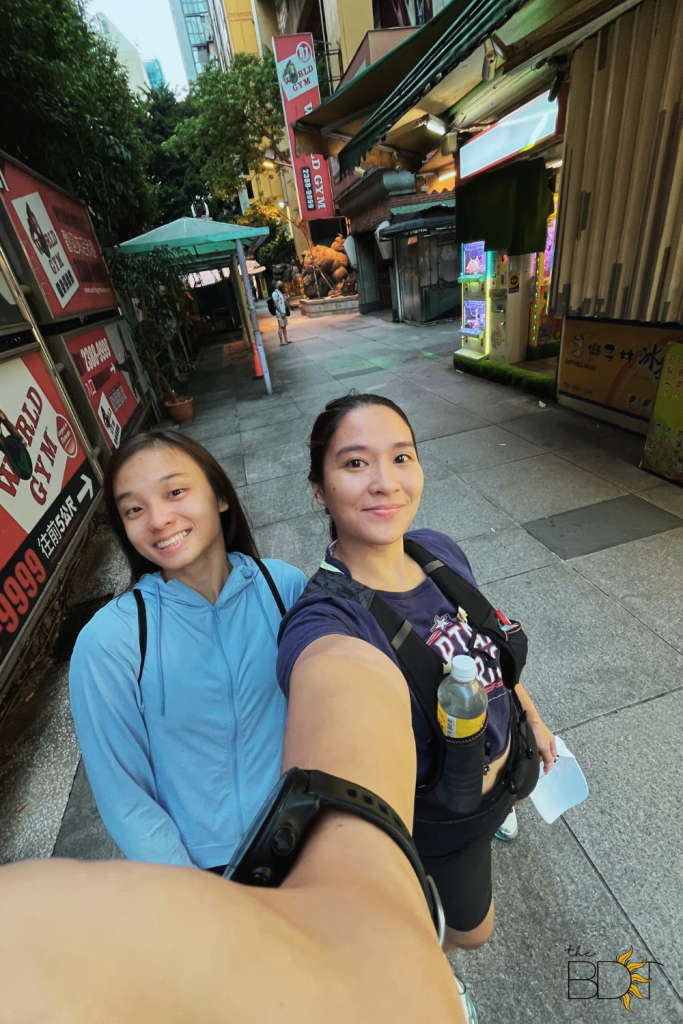
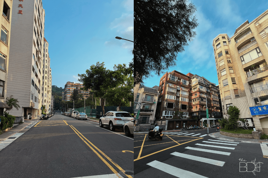
If you want to follow our route, head to Wende MRT station first. You can warm up a bit and do your stretches there because it will take you a few good minutes to get to the trailhead.

It was a lovely day for a hike, our journey beginning just minutes past 6 am. If you start earlier to catch the sunrise, even better.
The sun was shining brightly that day, but it wasn’t piercing-our-skin level. To think that it was raining heavily a few days ago, but we got to enjoy the good weather, woot thank you Universe!!
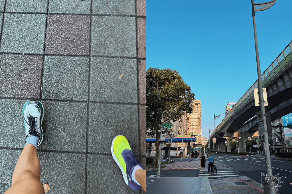
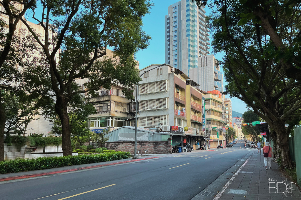
We spent around 35 minutes walking to the trailhead from the Wende MRT station. If you don’t stop every now and then to take photos or videos, then you can shave 5 minutes off of that. The area is flat, so it’s also ideal to start running just so you can be warmed up before the ascent.
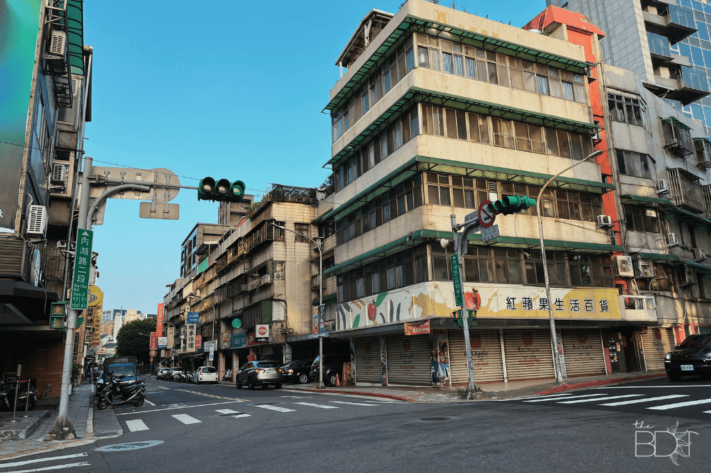
Take the time to be familiarized with the area as you pass by different houses. There’s also a school along the way.
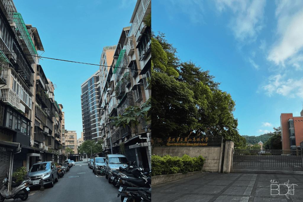
This was a quiet morning, and only the elderly could be seen walking around the neighborhood. It’s impressive, really. Love their active lifestyle!
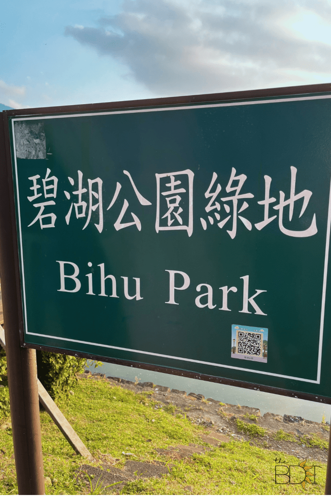
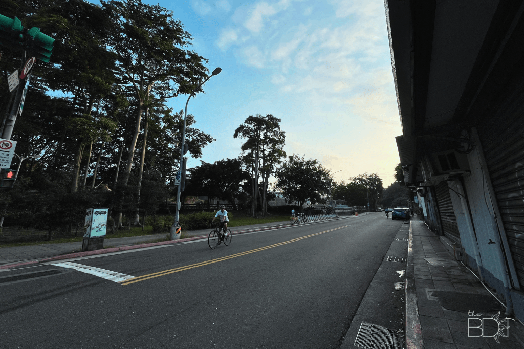
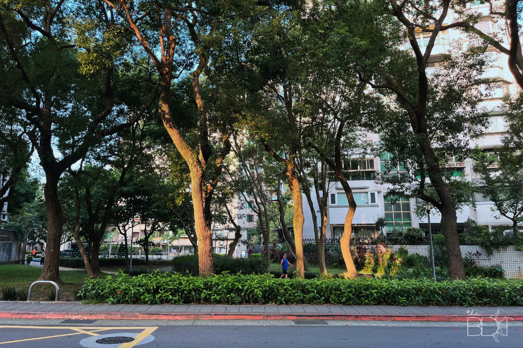
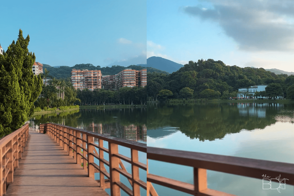
Nearing the trailhead, you’ll pass by the beautiful Bihu Park. If you come early, chill for a bit. This place is super nice. You can tell by the number of people who are taking a leisurely stroll.
You’ll also see clearer signs of where you’re supposed to go. Lol.
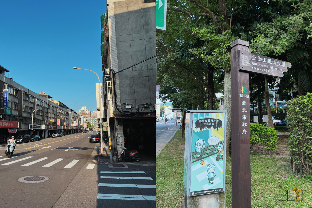
Yay! Let’s start hiking!
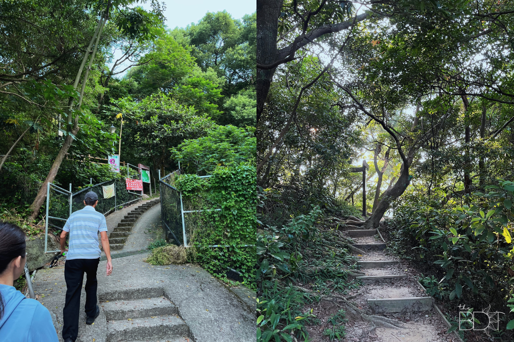
ALRRRIIIIIGHT! Here’s where the fun officially begins.
An elderly man was also geared up when we got to the trailhead. After exchanging smiles and nods, he went ahead. I remember him looking back as if urging us to follow him. We were initially confident with our fitness levels, but I don’t know if it’s the lack of activity for the past couple of days, or it’s just locals being locals, but we couldn’t keep up. HAHA. On the other hand, he just breezed his way up the stairs with little effort, and he was out of our sight in no time. The thing is — walking up the stairs looks easy, but the irregular and big gaps WILL tire you out.
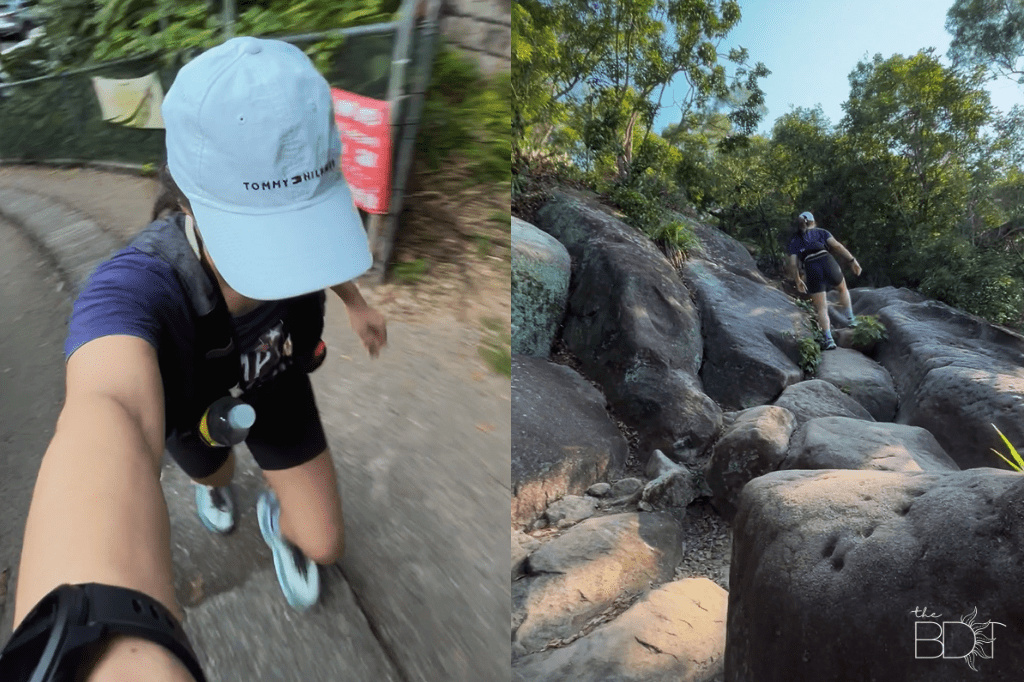
You’d be climbing on rocks soon after, so I hope you have your water or energy gel ready. There’s no sari-sari store along the way. Haha.
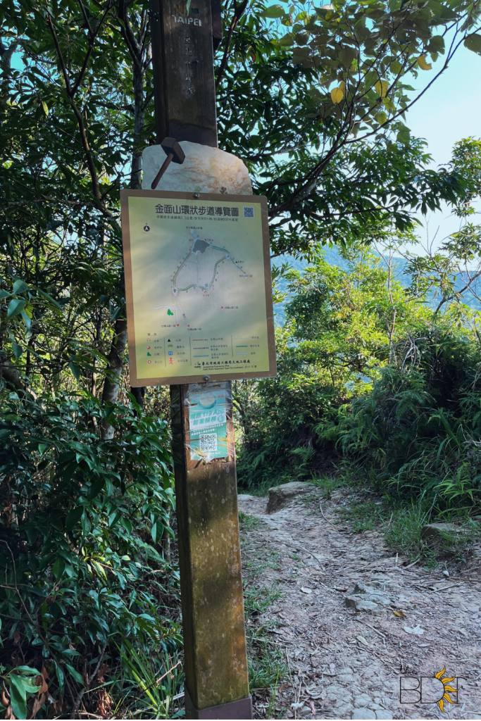
The gradual increase in difficulty level will be evident. Keep your eye out for junctions to double-check if you are still following the correct path. It’s actually pretty straightforward, but I guess this tip is more for people who easily get lost. We’ve encountered a big map of the mountain too. If you want to check out a longer route, let that be your guide.
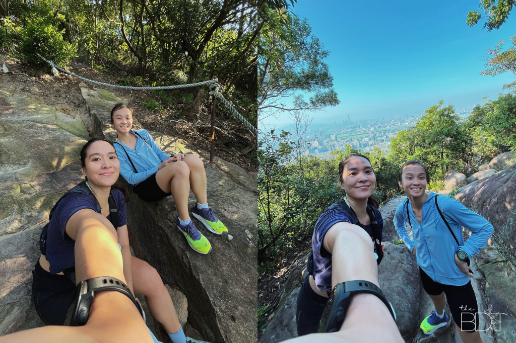
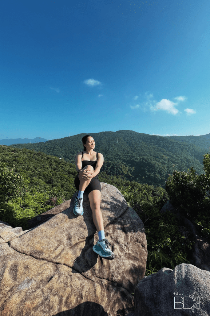
There are steep portions of the hike (boulder section) that will require you to hang on to a rope for safety. My friend Kirby and I were too focused on our climb, so we really were surprised when we looked back and saw the view. I don’t think I’ve properly captured how breathtaking the city was at the moment. Haha. This photo doesn’t give it too much justice! But as soon as we saw it, we were recharged!
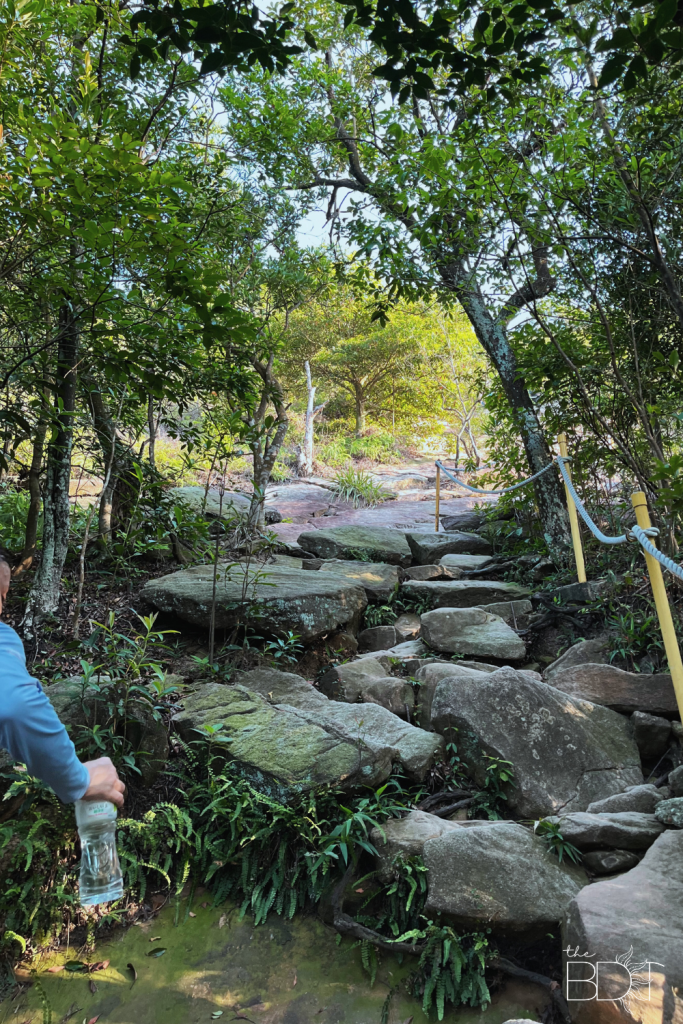
We also took a few minutes to just relax and revel in the gorgeous views.
Once we got past the large rocks, we took the chance to pick up the pace because the trail was more runnable.
We just continued all the way to Scissors Rock! As much as we wanted to enjoy a longer route, the day tour we booked was only a few hours away and we still needed to prepare (That’s for another story! 😉). Not that we’re sad, though. We captured the beauty of the place with our eyes, and that was more than enough to make our hearts happy!

As usual, the downhill part was more fun because it’s faster. Our legs were shaking once we finished the hike, and it was only then that we got to see kids younger than us or individuals the same as our age, climbing the mountain.

We came back the same way we got here (near Wende Station), the seemingly distant walk transforming into a short distance, and it’s only because we’ve gotten more familiar with the place.
ALSO READ: A Food Crawl Experience in Shilin Night Market: Tips and Must-Eats
The route to Scissors Rock
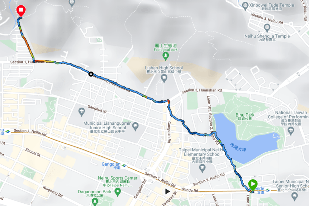
I’ll just list down details based on our experience, but you can still change it to your preference. From Wende MRT station, remember to take Section 2 Huanshan Rd. You can follow our course/path through the links below:
Garmin: https://connect.garmin.com/modern/course/312967307
Google Maps: https://maps.app.goo.gl/j3hc8LsgnAoH5PgP9
More Details
Distance: 4.04km
Total Ascent: 104m
Total Descent: 302m
Have you ever tried this trail? Tell me all about it! Or if you have questions, that’s cool too. Just hit me up!
Let’s conquer more mountains in Taiwan!! 🙂


Leave a comment